The New, More Comprehensive Google Maps
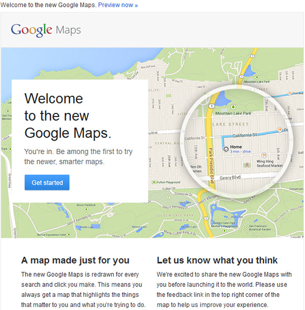
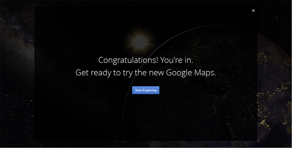
The new version of Google Maps is not yet available for the general public. By signing up for a preview you can get a sneak peek of the impressive new look, features and functionalities of Google Maps. Haven’t signed up or don’t feel like it, no problem, we did it for you – read on and we’ll tell you about our first-hand, initial experience of the new and updated Google Maps.
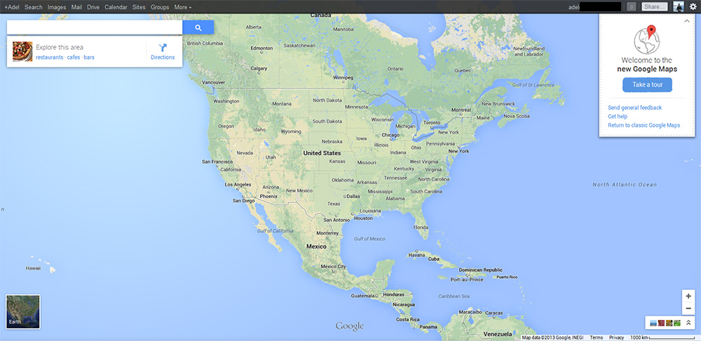
A Whole New Look
You can tell there is something a little different about Google Maps from the moment you visit the page. The map itself is full screen, with a number of small thumbnails at the bottom.
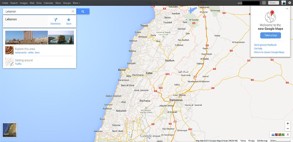
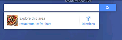
The search is not separate from the map, instead you can search using a small widget on the upper-left side of the screen. Your last three searches automatically show up (as long as you are logged in to your Gmail/Google Apps account), and like before, you can type the name of a specific location or generic search term (i.e. "coffee house") in the search box.
Google Maps displays your area of choice with some suggested locations; you can select a business either by clicking its name in the search box, or on a pin on the map. When you click on a pin, related roads and destinations appear on the page, helping you plan your journey.
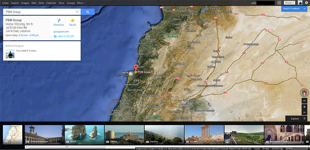
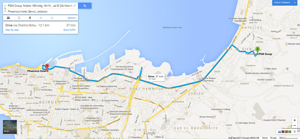
Search Results with Info Cards
Results for your search are displayed as points of interest on the screen. For instance, you can see that there is a coffee house near the office you are currently working in. The map also highlights some related results reviewed by friends, as well as those that are highly rated, in general.
When you click on a business (for example “PSW Group”), Maps now brings up an info card right below the search box. The venue's address is displayed at the top of the card, along with its hours of operation. To the right, you’ll find a navigation icon for directions, a star icon to save the location for later viewing, and the business’ website URL and phone number.
There's also a Street-View photo icon, as well as the option to look up more images of a specific location.
Also, Maps learns your preferences as you search for places, saves venues and writes reviews, ultimately making recommendations tailored specifically to your needs.
Google Earth View, Seamlessly on the Web
Satellite view has been replaced with "Earth" - which shows the clear relationship with Google's other planet viewing platform, Google Earth - and this icon is now located at the bottom left of the screen. When you click it, the map fades to the new view, with the zoom controls and compass located at the bottom of the screen, over in the right corner.
Strangely, you can't zoom in as far in “Earth” view as you can in “Satellite” view, but zoom all the way out and you'll get a lovely overview of planet earth which you can spin on its axis - which is all very nice.
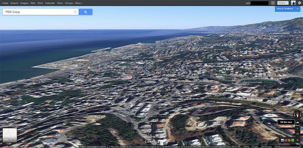
Photo Tour
At the bottom of the page for any given location, Google features a scrolling menu of images. There are single images, as well as a series of images that you can click through for a photo tour. To be able to access this, you should switch to from “Maps” view to “Earth” View (from the bottom left of the Maps Page).
The images include those that Google has taken, public images uploaded to Google+ and Picasa, as well as Photo Spheres (a 360-degree photo typically of the inside of a building) taken by Android users.
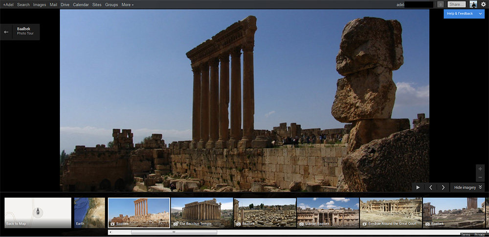
Photo Tours are becoming interesting day after day because they’re user-generated, and are often of the same location. It's cool to see the same place through the eyes of different photographers and phones.
Real-Time Traffic
Google previously offered Traffic Data that were only in available in some countries. However, with the updated Google Maps, Real-Time Traffic has become available as part of the directions.
The Traffic Data is gathered through third-party services and through information from Android users who have activated the “My Location” feature on Google Maps. Google would be able to tell, for instance, if there were several Android owners moving slowly on the freeway, and would be able to determine that they were slowed down by traffic. The more people activating the service in the area using their smartphones, the better the traffic information available will be.
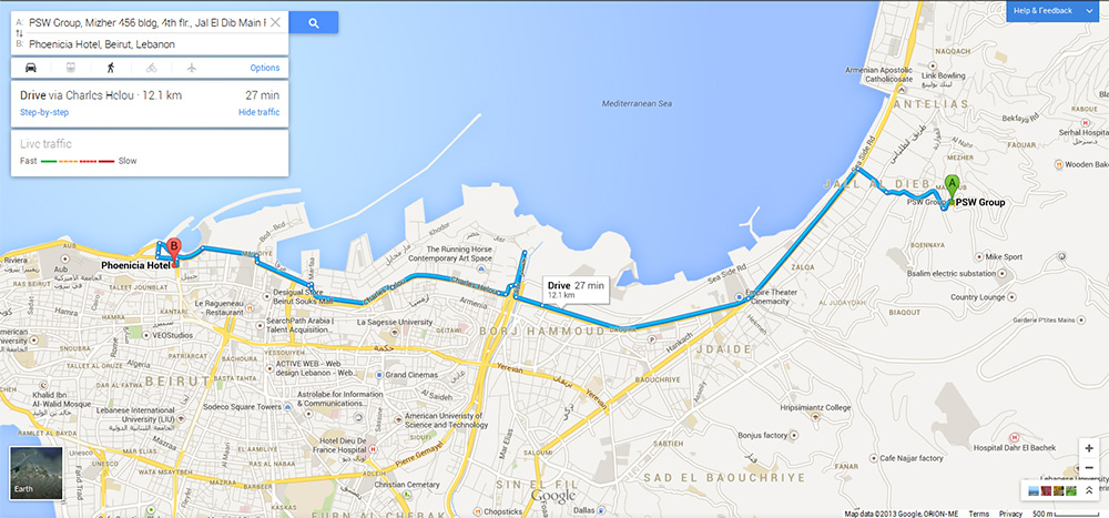
Better Directions & More Transportation Tools

Maps offers directions for a variety of different transportation options, Car, Public Transit, Walking, Biking and Air, that are displayed both in the search box and on the map itself. The “best” route is shown on the map by default.
For public transportation, you can visually compare trips based on number of transfers, walking distance and total travel time - a useful feature for anyone who has to deal with public transportation on a daily basis, and wants to make sure they're taking the quickest route possible.
Want to try out the new Google Maps? You can sign up to participate in Google' Maps preview by visiting the following URL:
http://maps.google.com/help/maps/helloworld/desktop/preview/
PSW Group screenshots; images courtesy of Google Maps